NEW ORLEANS, LOUISIANA / AN ARCHITECTURAL STUDY
Louisiana
State Bank.
A measured bank. Mapped districts through time.
Modern mapped footprints; historical context labelled.
Explore the neighborhood.
New Orleans · Mapped footprints + historical bank
The HABS survey
Compare the real 1940 map around the bank
Public-domain Sanborn sheet 14 shows the bank and nearby blocks, including the brewery site before the modern Sonesta hotel. It is a 1940 record, not proof of the exact 1934 layout.
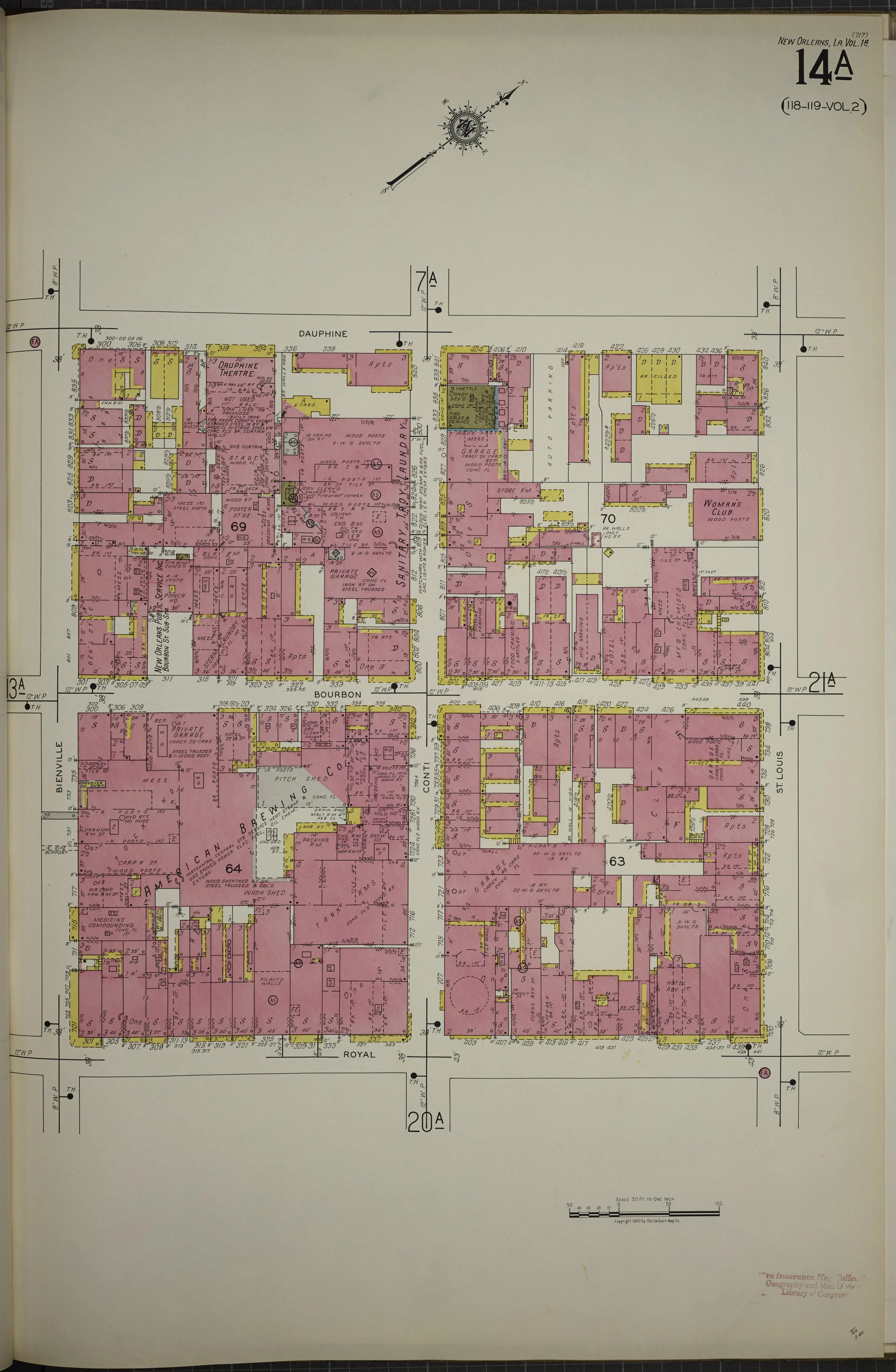 Library of Congress original sheet ↗
Move through dated bank views and the modern mapped district. Historical surroundings are estimated carry-backs except specific sourced changes. Pedestrians are simulations, not measured population.
NEW ORLEANS · EVIDENCE-LED CITY STUDY
New Orleans, district by district.
Loading municipal geometry and source records…
Full detail can exhaust memory or crash the browser. All mapped areas remain visible in either mode. Detail is separate from historical certainty.
Street-level detailRuntime furnishings are loading. Catalog designs and visible placements are counted separately.
Vegetation and small soil/groundcover beds are an Estimated planting arrangement, not a surveyed tree inventory or historical planting record. Full crowns are checked against buildings, roads and walking lanes; roots rest on mapped ground or sidewalks. The neighborhood selector changes the camera and lists; all mapped neighborhoods stay on the map. Footprints and roads follow the listed map sources. Building heights, façades and unrecorded historical states remain Estimated. The historical bank retains its measured survey model; modern interiors are not surveyed.
Original 25-cell furnished study · estimated grid, retained for comparison
From the street to the room.
The bank anchors an estimated 25-cell district: its original block and 24 surrounding cells. Added architecture, interior layouts and furniture are interpretive estimates, not measured reconstructions. Furnished rooms represent the default 1934–35 state, with estimated carry-forward to 1936; the other timeline dates do not include this furnishing reconstruction. All architectural blocks load automatically and stay visible. Furnishings load by room.
The bank remains available while district records load.
Browse the furnishing design library
A closer look.
Rendered directly from the Blender model.
03 / THE ARCHIVAL RECORD
The record behind
the scene.
This model follows a single historical reference state: the building documented in the 1934–35 Historic American Buildings Survey.
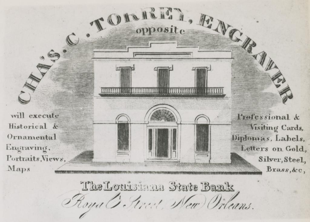
What is documented
What is reconstructed
Dimensions & provenance
THE REUSABLE CITY LIBRARY
23,000 modeled designs.
1,500 original furnishing designs, 8,500 city-library designs and 1,000 additional Marigny designs, plus 1,000 plant designs and 1,000 Bywater designs. Repeated placements do not count as new designs. This is a reusable, optimized procedural library, not 13,000 separately hand-sculpted objects.
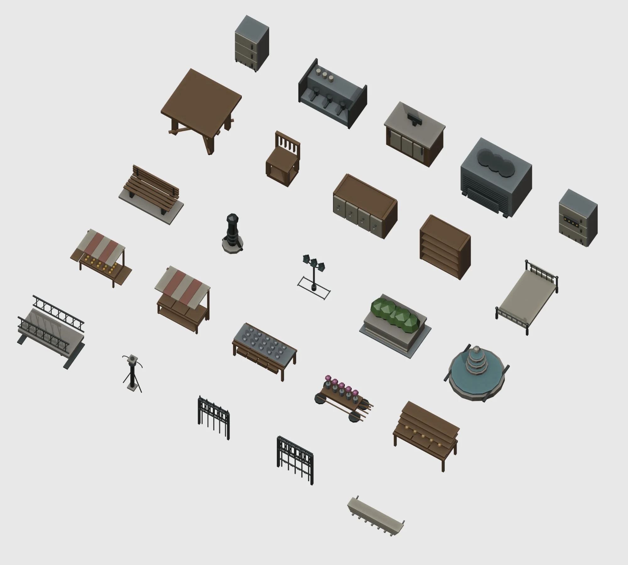
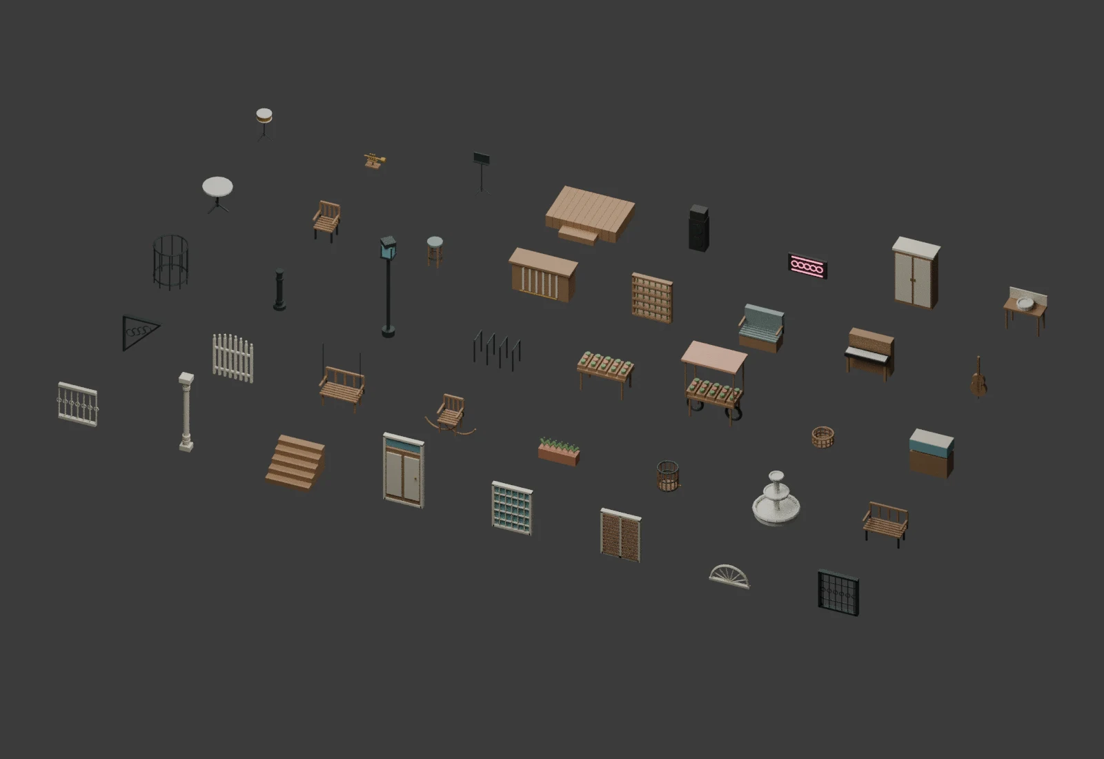
New native Blender libraries and export scripts are available below. The Marigny additions contain 40 archetypes × 25 geometric configurations, with 80 representative runtime prototypes. The plant and Bywater extensions each add 40 construction families × 25 distinct configurations, with 40 representative runtime prototypes per extension. Only a subset is placed across the three mapped neighborhoods and selected interiors; downloading the library does not mean every design is visible at once.
Open the catalog to browse.
04 / CONTINUE THE STUDY
Take the model with you.
Download the original 25-block furnished native study and its 1,500-design library, plus the city, Marigny, plant and Bywater asset collections below. Crowd source is included; walking animation runs on this website, not in the Blender scene. Original bank files remain available below.